ProQual Level 3 Diploma in Engineering Surveying (Land Surveying)
The ProQual Level 3 Diploma in Engineering Surveying (Land Surveying) is a comprehensive qualification designed to equip learners with the technical knowledge and practical skills required for surveying in construction, infrastructure, and land development projects. Land surveying plays a vital role in modern engineering, supporting accurate measurement, mapping, and setting out of data for projects ranging from urban expansion to environmental management. This diploma provides a structured pathway for individuals seeking to enter the profession or for experienced practitioners who want to formalize their expertise with a recognized qualification.
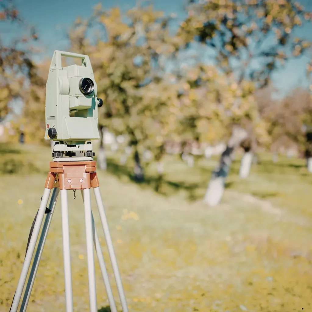
Learners undertaking this qualification will explore essential surveying techniques, including data collection, mapping, and the use of modern instruments such as total stations, GPS, and laser scanning technologies. The course emphasizes accuracy, precision, and reliability, ensuring that learners understand how to translate designed data from plans into real-world applications and how to create accurate maps of existing detail. It also highlights the importance of surveying in supporting sustainable development, compliance with regulations, and the safe execution of engineering projects.
By the end of the program, participants will have developed a strong foundation in engineering surveying principles and their application in land surveying contexts. They will be able to collect, analyze, and present survey data effectively, support project planning and execution, and contribute to the accuracy and success of construction and infrastructure developments. The diploma is suitable for newcomers to the field as well as professionals seeking career progression, offering a flexible study method that can typically be completed within 4–12 months.
Course Overview
Awarding Body
ProQual
Duration
6 to 12 Months
Study Mood
Online
Assessment
Assignments Based
Course Study Units
- Introduction to Land Surveying
- Understanding Levelling in Surveying
- Using a Total Station in Surveying
- Using Global Navigation Satellite Systems
- Setting out and other Construction Survey Technologies

Entry Requirements
Who Can Enroll
This qualification is designed for individuals who want to build or formalize their skills in engineering and land surveying.
- New entrants to the surveying or construction industry.
- Technicians or assistants seeking career progression.
- Learners motivated to gain practical surveying skills.
- Professionals aiming to strengthen compliance and accuracy in projects.
- Individuals interested in infrastructure, mapping, or land development.
- Those seeking a recognized qualification to support career advancement.
Course Learning Outcomes
Introduction to Surveying
- Understand basic health and safety legislation relevant to surveying
- Understand numerical and mathematical techniques for surveying
- Understand how organisations are managed
- Understand the setting up of control networks in surveying
- Understand how survey drawings are interpreted
Understanding Levelling in Surveying
- Understand errors when levelling in surveying
- Understand different types of level
- Understand different datums used in surveying
- Be able to book levelling data
Using a Total Station in Surveying
- Know how to use a total station in surveying
- Understand control traverse observation
- Understand how to compute traverse data
- Know how to record and output total station survey data
Using Global Navigation Satellite Systems (GNSS)
- Have an understanding of GNSS theory and good practice when observing
- Know how to use GNSS in geospatial and engineering surveying
- Understand the limitations of accuracy
Setting Out and Other Construction Related Survey Technologies
- Have a basic knowledge of 3D Building Information Modelling (BIM)
- Understand the use of construction drawings in setting out
- Know how to perform setting out tasks
- Know how to carry out Original Ground Level (OGL) and as-built survey
- Understand the use of laser scanning in surveying
- Understand the importance of utility detection surveys in a construction environment